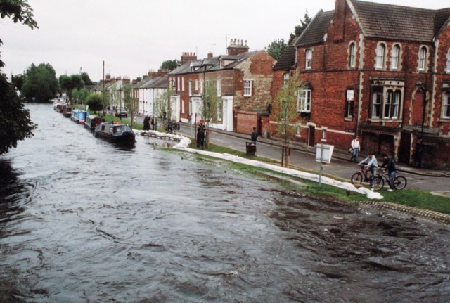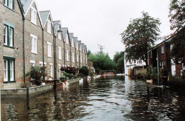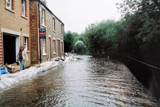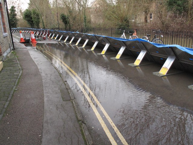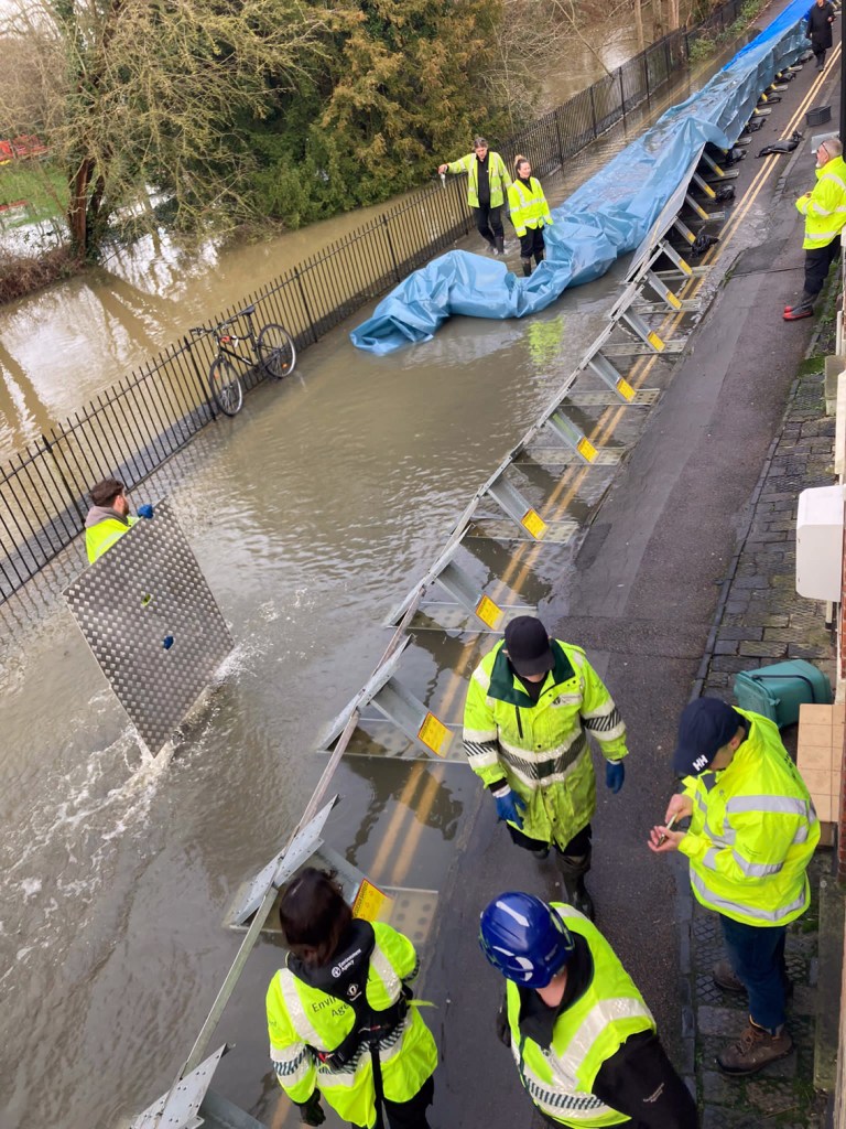
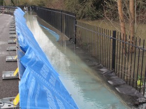
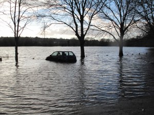
Flooding is a recurring issue in Osney. The most serious recent events were in summer 2007 following freak rainfall, and in winters 2012, 2014 and 2024. A great deal of work has been done since 2007 to protect properties from flooding, including the installation of permanent pumps, the provision of demountable barriers which the Environment Agency can erect along the river banks, and the opening up of the channels downstream of Osney to speed the drainage of water out of the floodplain.
When flooding does occur it is useful to know that:
- it takes 4–6 days for the river level to peak following heavy rain, as water moves down the catchment area from the west
- the Environment Agency issues Flood Alerts and Flood Warnings that give advance notice of potential risk — sign up for these at: https://www.gov.uk/sign-up-for-flood-warnings
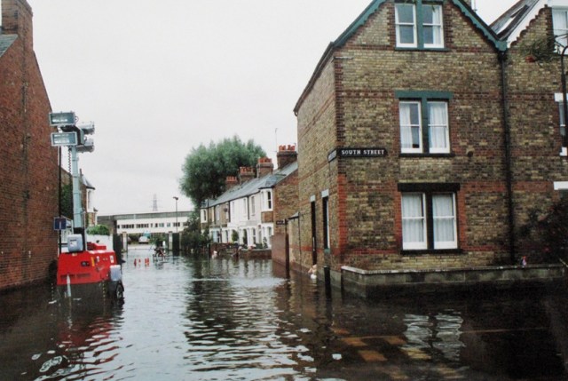
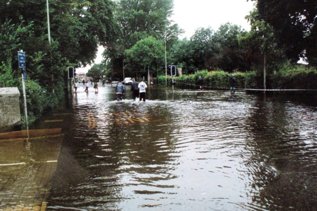
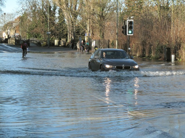
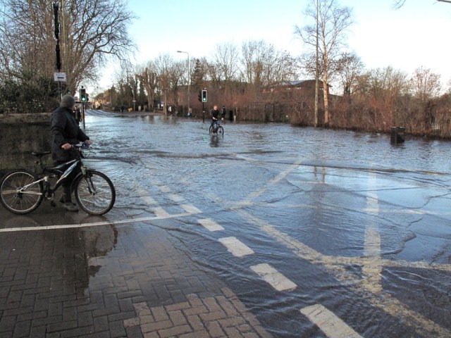
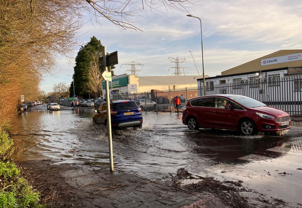
- flooding on the island and in the Botley Road area usually occurs slowly and there is plenty of time to prepare
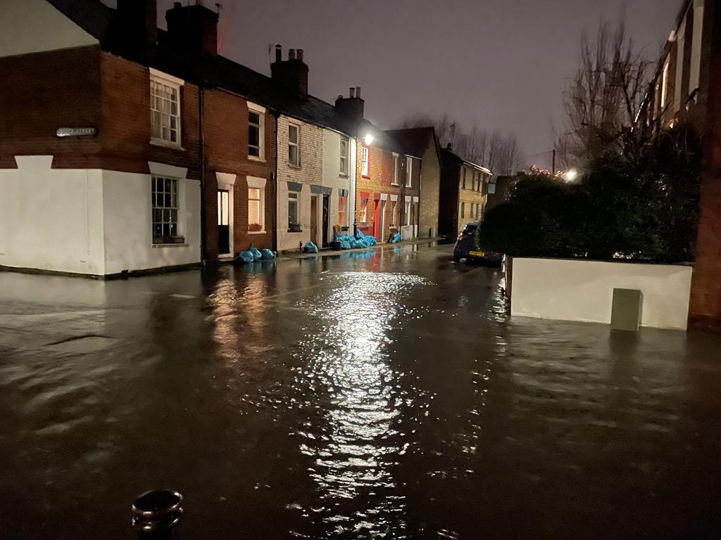
- when flooding does occur it starts with rising groundwater and it is this that has flooded some properties in the past
- the river overtopping its banks is a much later event, and the main river has not burst its banks in Osney in any recent events
- the lowest point in the island is towards the southern end and the water rises here first
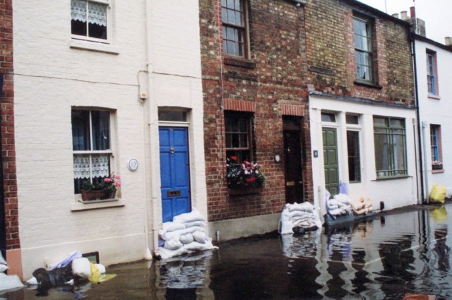
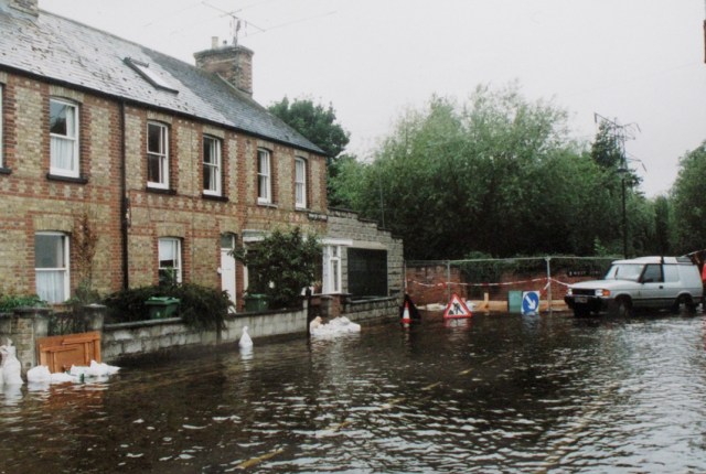
- if your house is threatened in a flood event you can prepare by moving everything you can upstairs, packing bags and securing valuables
- even in recent severe flood events only a small number of properties on the island have been affected
- some vulnerable properties have been provided with small pumps to keep water below floor level
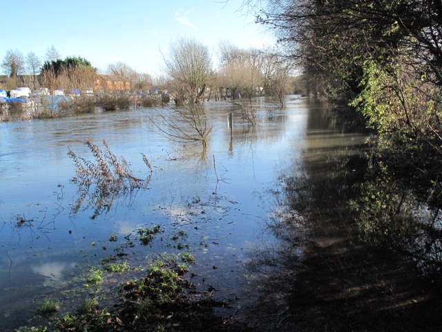
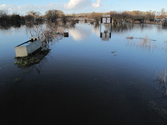
- flooding of local parks, allotments and meadows is a normal annual feature of this area and not a cause for alarm
For answers to questions that often come up during flood events see the Flooding FAQs.
Note: This website is not an official source of flooding information and if you are a potential buyer of property on Osney you should seek professional advice and visit the Environment Agency website.
Key contacts
Government flood information service
https://flood-warning-information.service.gov.uk/
Here you can see what Flood Warnings are in place, register to be sent Flood Warnings (by phone, email and text), and view river levels. See the Flooding FAQs for an explanation of these warnings.
Floodline
For the latest flooding information in the area (as given on the website above): 0345 988 1188.
Oxford City Council
Flooding information: https://www.oxford.gov.uk/info/20094/flooding
In an emergency call the Oxford Direct Services duty officer on 01865 249811.
Our councillor Susanna Pressel can often help with reaching the right person and can be contacted (daytime only) on 01865 554001.
Thames Water
For sewer and drainage problems: 0800 714614, https://www.thameswater.co.uk/contact-us/report-a-problem/report-a-problem-online
Oxford Flood Alliance (OFA)
https://oxfordfloodalliance.org.uk/
A community pressure group which works with local agencies, lobbies on flood-related matters, holds annual public meetings and can offer advice to local residents.
Part of OFA’s work has been to campaign for improved flood defences and a major scheme — the Oxford Flood Alleviation Scheme — is under development.
Oxfordshire County Council
Advice about flood-proofing your home: https://www.oxfordshirefloodtoolkit.com/pdfs/12/protect-your-home.pdf